
Image
L-36-96 Казантип Public Deposited
- Original Publication Date
1934
- Genre
- Topographic Maps
- Military Maps
- Location
- Coordinates: 45.3333, 35.5, 45.6667, 36
- Related URL
- Abstract
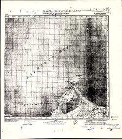
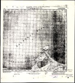
- Modern area represented: Мисове (Mysovoe), Republic of Crimea, Ukraine
- Call Number
- G7000 s100 .S7 sheet L-36-96
- Caption
- Для cлужебного пользования
- City
- Казантип (Kazantip)
- Copyright Owner
- No Copyright - United States
- Country
- СССР (USSR)
- Filename
- VAC9619-001954
- Subject
- Topical Subject: Maps
- Topical Subject: Soviet Union
- Geographic Subject: Mysovoe
- Geographic Subject: Republic of Crimea
- State/Region
- РСФСР (RSFSR)
- Крымская АССР (Crimean Autonomous Soviet Socialist Republic)
- Title
- L-36-96 Казантип
- Physical Description
- Scale: 1:100,000
- Language
- Russian
- Persistent Identifier
- Holding Location
- Bloomington - Herman B Wells Library
1320 E 10th St.
Bloomington, IN 47405
Contact at libref@iu.edu, (812) 855-0100
- Bloomington - Herman B Wells Library
- Campus
- IU Bloomington
- Date Created
- 1941
- Provenance
- CIA Map Library
- Publisher
- Генеральный штаб Красной Армии
Relationships
Relationships
- In Collection:
Items
Show Item Images
| Thumbnail | Title | Date Uploaded | Visibility | Actions |
|---|---|---|---|---|
|
VAC9619-001954.jp2 | 2024-01-08 | Public |
|
|
VAC9619-U-000453.jp2 | 2024-01-08 | Public |
|